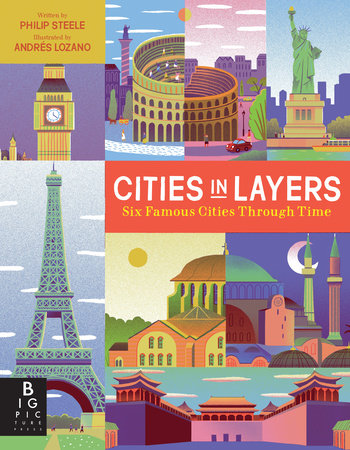
 CITIES IN LAYERS, by Philip Steele and Andrés Lozano, Big Picture Press, Aug. 11, 2020, Hardcover, $22 (ages 8-12)
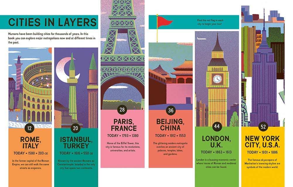
For thousands of years, humans have been building cities. Explore six of those cities — Rome, Istanbul, Paris, Beijing, London and New York City — through different points of time in Cities in Layers, by Philip Steele and Andrés Lozano.
Cities in Layers begins with explaining what a city is and how they began. It delves into walls and defenses; water and drains, monuments; roads and rails; bridges and boats; and buildings.
Next comes a large timeline that helps readers place what was happening in each of these cities at the same time. For example, Rome was founded in 753 BCE, followed quickly by Istanbul in 657 BCE. But it would be more than 700 years before the Romans built Londinium in 43 CE and more than 2000 until the Lenape people would take up residence on the island of Manhattan.
Each city section begins with a two-page spread featuring a basic overview, a segment on who has lived there and information about three important time periods. Those three spreads are maps of the city during those three time periods. A numbered key takes you on a tour of the most important sites. A die-cut element adds to the “layered” effect.
The book ends with a look at what future cities might look like.
Cities in Layers is a children’s picture book (ages 8-12), but it will appeal to readers of all ages. Younger children (6 and up) will love the map elements and searching for buildings. I can easily see us reading this as a family with my 6-year-old who loves maps and travel.
This book would be a great jumping off point for those doing home school this year. It would be fun to make a map of your own state, city, neighborhood or city.

